This guide will walk you though the basics on how to use Near data into Carto to gather insights from Human Movement Data

Most Near flat files are compressed into a gzipped format (.gz) for faster downloading of the data. Make sure to decompress your files before using this data. For information on how to do that, reference our FAQ page.
- Make sure to log on first when accessing Carto.
- Once you’re signed onto Carto, you’ll be sent to the Dashboard page and then you can click on “Data” on the top left corner of your screen. From here, you can access previous datasets you’ve imported or you can import a new dataset by clicking on “New Dataset”.
- From here, you are given multiple options on how to connect or import your datasets. You can either connect your data from a cloud service (e.g Google Drive) or SQL databases or import your data locally on your computer. CARTO supports a large number of data types and file formats, including shapefiles, KML, GeoJSON, CARTO files, and more. Depending on the option you choose, click on the file you want and press “Upload Dataset”.
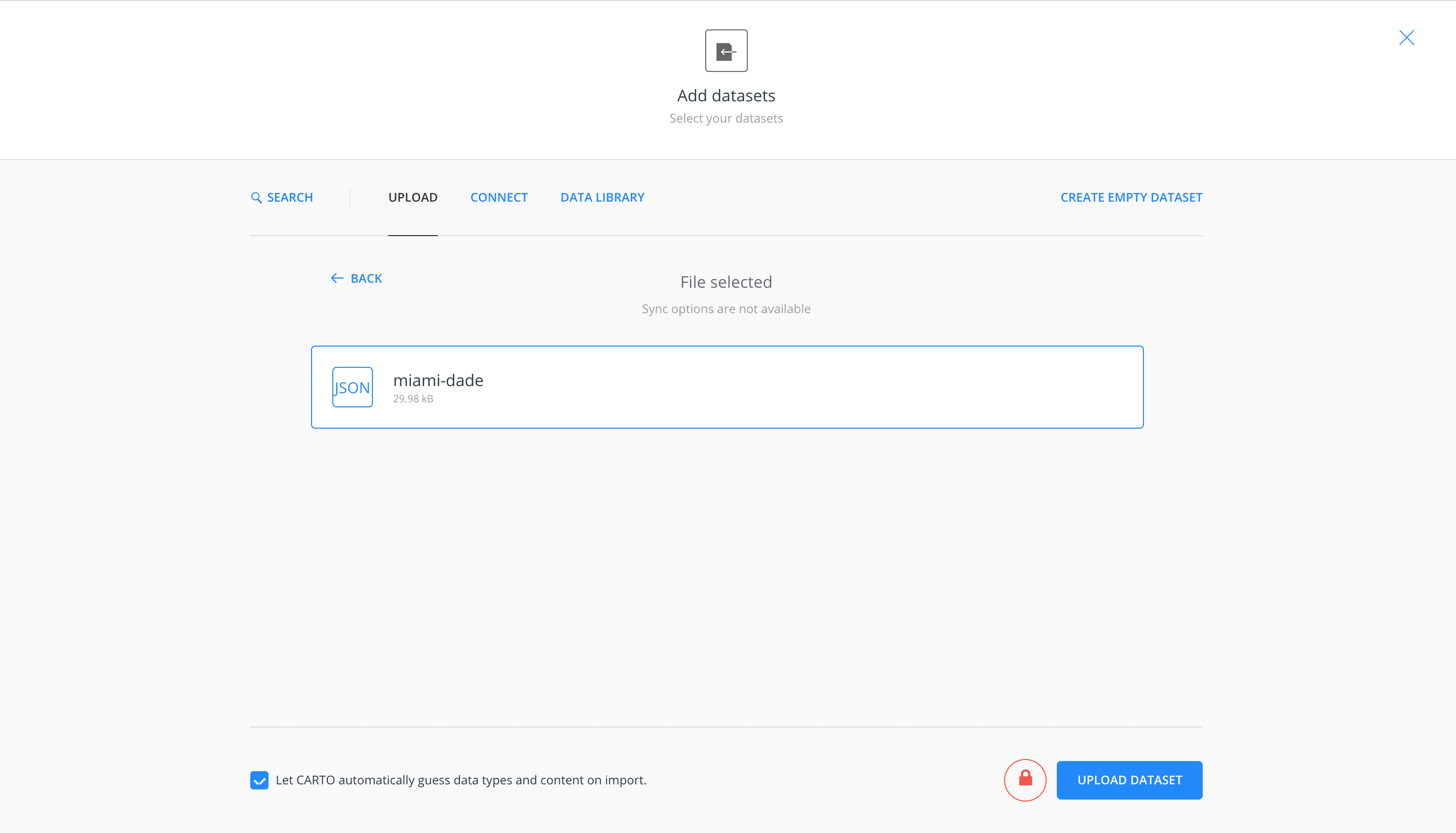
- After the file is finished connecting on Carto, you will be sent to a page containing all the metadata of your file. From there, you can click on “Create Map” on the bottom right of the screen, which will show you the geographic data on a Carto map!


About the Author
Grant is an expert in data science and statistics. He cares about translating data to create actionable insights, and wants to help you do the same.